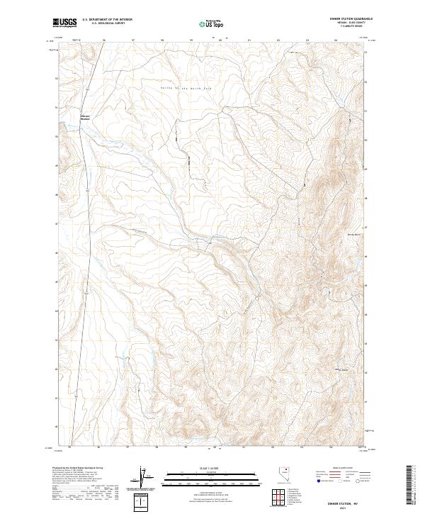
2021 Map of Dinner Station
USGS Topo · Published 2021About this map
Dinner Station serves as the focal point of this northern Nevada landscape, situated where Mason Cr meets Sixteenmile Cr. The terrain is defined by the broad Valley of the North Fork and the rising elevations of the Adobe Range to the southeast. Water management and drainage patterns are central to the area's layout, evidenced by the Dorsey Reservoir and a network of seasonal watercourses including Dorsey Cr and Mud Spring Cr.
Find a feature on this map
18 named features on this map. Tap any name to fly to it.
Don’t see what you’re looking for? This feature index may not catch every label — zoom into the map to look around manually.
Map Details
Editions of this 2021 Dinner Station Map
This is the sole edition of this map. No revisions or reprints were ever made.
Other maps of this area

1955 · Wells
USGS Topo · 1:250,000

1955 · Elko
USGS Topo · 1:250,000

1958 · Wells
USGS Topo · 1:250,000

1958 · Elko
USGS Topo · 1:250,000

1958 · Singletree Creek
USGS Topo · 1:24,000

1958 · Doby Summit
USGS Topo · 1:24,000

1961 · Wells
USGS Topo · 1:250,000

1962 · Elko
USGS Topo · 1:250,000

1962 · Kittridge Springs
USGS Topo · 1:24,000

1962 · Osino
USGS Topo · 1:24,000