
1977 Map of Dipper Spring
USGS Topo · Published 1978About this map
Cervi Ranch sits in the southwestern corner of this Colorado landscape, highlighting the ranching history of the High Plains along the border of Weld and Logan Counties. The map reveals a remote environment where water management is central to survival, as seen at Hackberry Reservoir and several named water sources such as Antelope Spring. Dramatic landforms like Dipper Hill and the passage through Dipper Gap provide natural orientation in a region largely defined by the drainage patterns of George Creek and Sidney Draw. The presence of numerous Drill Holes and Oil Wells across the quadrangle indicates the significant energy exploration and mineral activity that characterized the rural economy in the late 1970s.
Find a feature on this map
18 named features on this map. Tap any name to fly to it.
Don’t see what you’re looking for? This feature index may not catch every label — zoom into the map to look around manually.
Map Details
Editions of this 1977 Dipper Spring Map
This is the sole edition of this map. No revisions or reprints were ever made.
Other maps of this area

1954 · Sterling
USGS Topo · 1:250,000

1954 · Scottsbluff
USGS Topo · 1:250,000

1958 · Scottsbluff
USGS Topo · 1:250,000

1958 · Sterling
USGS Topo · 1:250,000

1972 · Potter SW
USGS Topo · 1:24,000

1972 · Kimball SE
USGS Topo · 1:24,000

1972 · Kimball SW
USGS Topo · 1:24,000
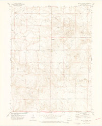
1977 · Battle Canyon
USGS Topo · 1:24,000

1977 · Avalo SE
USGS Topo · 1:24,000
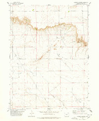
1978 · Chimney Canyons
USGS Topo · 1:24,000