
1961 Map of Disaster Peak
USGS Topo · Published 1963About this map
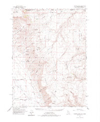
Disaster Peak and the surrounding Montana Mountains dominate this high-desert landscape straddling the line between Oregon and Nevada. The 1961 field data reveals a sparse but industrious territory defined by remote springs and high-elevation mining claims. The Kings River flows through the western valley, providing a lifeline for the Rio King Ranch and supporting a network of livestock operations marked by miles of fence lines.
Find a feature on this map
64 named features on this map. Tap any name to fly to it.
Don’t see what you’re looking for? This feature index may not catch every label — zoom into the map to look around manually.
Map Details
Editions of this 1961 Disaster Peak Map
2 editions found
Other maps of this area

1882 · Paradise
USGS Topo · 1:250,000

1886 · Disaster
USGS Topo · 1:250,000

1893 · Paradise
USGS Topo · 1:250,000

1893 · Disaster
USGS Topo · 1:250,000

1954 · Vya
USGS Topo · 1:250,000

1955 · McDermitt
USGS Topo · 1:250,000

1955 · Jordan Valley
USGS Topo · 1:250,000

1955 · Adel
USGS Topo · 1:250,000

1957 · Adel
USGS Topo · 1:250,000

1957 · Jordan Valley
USGS Topo · 1:250,000