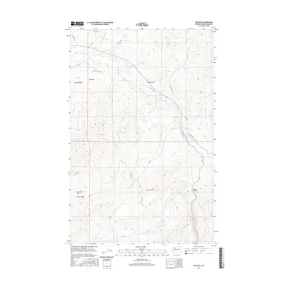
2017 Map of Disautel
USGS Topo · Published 2017About this map
Disautel sits as the primary settlement within this 2017 landscape in Okanogan County, where the topography is defined by significant drainage systems and high basins. The hydrology of the region is centered on Omak Cr, which travels through the central portion of the map, fed by several tributaries including Swimptkin Cr and Clark Cr. To the south, the terrain descends into the Dan Nason Basin, a notable geographical depression alongside Nason Cr. The road network consists largely of Bureau of Indian Affairs routes, such as Bia RD 1012 and Bia RD 1016, providing access to the more secluded water features like Summit Lake and the southern reaches of Kartar Cr. The presence of Coyote Canyon in the east highlights the transition from upland basins to narrower, eroded landforms typical of this part of the state.
Find a feature on this map
29 named features on this map. Tap any name to fly to it.
Don’t see what you’re looking for? This feature index may not catch every label — zoom into the map to look around manually.
Map Details
Editions of this 2017 Disautel Map
This is the sole edition of this map. No revisions or reprints were ever made.
Other maps of this area

1950 · Boot Mtn
USGS Topo · 1:62,500

1950 · Alameda Flat
USGS Topo · 1:62,500

1952 · Alameda Flat
USGS Topo · 1:62,500

1952 · Disautel
USGS Topo · 1:62,500

1953 · Omak Lake
USGS Topo · 1:62,500

1954 · Okanogan
USGS Topo · 1:250,000

1958 · Okanogan
USGS Topo · 1:250,000
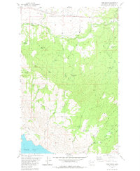
1980 · Camp Seven
USGS Topo · 1:24,000
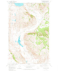
1980 · Boot Mountain
USGS Topo · 1:24,000
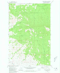
1980 · Omak Mountain
USGS Topo · 1:24,000