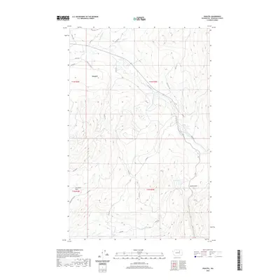
2020 Map of Disautel
USGS Topo · Published 2020About this map
Disautel sits as a primary point of reference in this landscape of Okanogan County, characterized by a complex network of Bureau of Indian Affairs (BIA) routes. The area is defined by its drainage systems, where Omak Cr and Swimptkin Cr carve through the terrain in the north, while Kastar Cr and Coyote Cr navigate the southern reaches. These watercourses dictate the historical movement through the region, as evidenced by roads like Camp Six Rd and the Dan Nason Basin Rd.
Find a feature on this map
35 named features on this map. Tap any name to fly to it.
Don’t see what you’re looking for? This feature index may not catch every label — zoom into the map to look around manually.
Map Details
Editions of this 2020 Disautel Map
This is the sole edition of this map. No revisions or reprints were ever made.
Other maps of this area

1950 · Boot Mtn
USGS Topo · 1:62,500

1950 · Alameda Flat
USGS Topo · 1:62,500

1952 · Alameda Flat
USGS Topo · 1:62,500

1952 · Disautel
USGS Topo · 1:62,500

1953 · Omak Lake
USGS Topo · 1:62,500

1954 · Okanogan
USGS Topo · 1:250,000

1958 · Okanogan
USGS Topo · 1:250,000
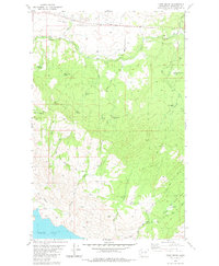
1980 · Camp Seven
USGS Topo · 1:24,000
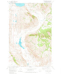
1980 · Boot Mountain
USGS Topo · 1:24,000
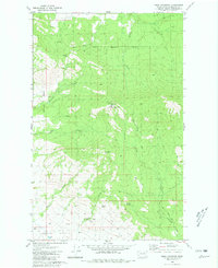
1980 · Omak Mountain
USGS Topo · 1:24,000