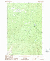
1989 Map of Disautel
USGS Topo · Published 1989About this map
The Colville Indian Reservation landscape is defined by its rugged creek drainages and high-elevation basins in this late 1980s record of Okanogan County. The settlement of Disautel and the nearby Camp Disautel serve as the primary human centers in an area otherwise characterized by vast stretches of natural terrain and seasonal waterways. Water moves through the territory via several major named systems, including Omak Creek and the long, winding Coyote Canyon to the south.
Find a feature on this map
16 named features on this map. Tap any name to fly to it.
Don’t see what you’re looking for? This feature index may not catch every label — zoom into the map to look around manually.
Map Details
Editions of this 1989 Disautel Map
This is the sole edition of this map. No revisions or reprints were ever made.
Other maps of this area

1950 · Boot Mtn
USGS Topo · 1:62,500

1950 · Alameda Flat
USGS Topo · 1:62,500

1952 · Alameda Flat
USGS Topo · 1:62,500

1952 · Disautel
USGS Topo · 1:62,500

1953 · Omak Lake
USGS Topo · 1:62,500

1954 · Okanogan
USGS Topo · 1:250,000

1958 · Okanogan
USGS Topo · 1:250,000
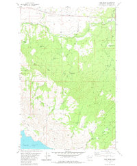
1980 · Camp Seven
USGS Topo · 1:24,000
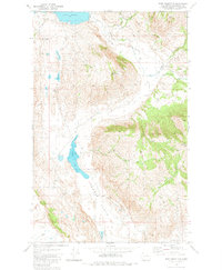
1980 · Boot Mountain
USGS Topo · 1:24,000
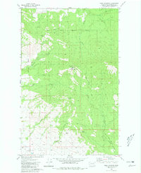
1980 · Omak Mountain
USGS Topo · 1:24,000