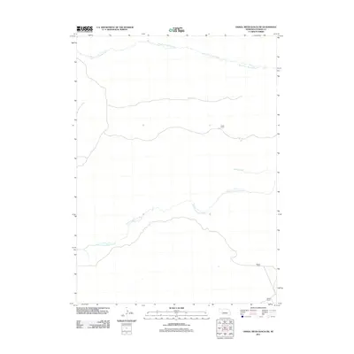
2011 Map of Dismal River Ranch SW
USGS Topo · Published 2011About this map
The North Fork Dismal River and South Fork Dismal River carve through this section of the Nebraska Sandhills, defining a landscape dominated by remote ranching operations. In the early 21st century, human presence is primarily marked by long-established cattle outposts such as Hager Ranch in the north and Mauser Ranch to the southeast. These named landmarks, along with Haney Ranch, highlight the continued importance of family-named holdings in Hooker County's grazing economy. Minor watercourses like Spring Creek feed into the river system, illustrating the delicate hydrology of this semi-arid region where water access dictates the location of every settlement and road.
Find a feature on this map
6 named features on this map. Tap any name to fly to it.
Don’t see what you’re looking for? This feature index may not catch every label — zoom into the map to look around manually.
Map Details
Editions of this 2011 Dismal River Ranch SW Map
This is the sole edition of this map. No revisions or reprints were ever made.
Other maps of this area

1947 · Dismal River Ranch
USGS Topo · 1:62,500

1948 · Carr Lake
USGS Topo · 1:62,500

1949 · Dismal River Ranch
USGS Topo · 1:62,500

1949 · Flats
USGS Topo · 1:62,500

1949 · Wright Valley
USGS Topo · 1:62,500

1950 · Flats
USGS Topo · 1:62,500

1950 · Carr Lake
USGS Topo · 1:62,500

1951 · Wright Valley
USGS Topo · 1:62,500

1954 · North Platte
USGS Topo · 1:250,000

1956 · North Platte
USGS Topo · 1:250,000