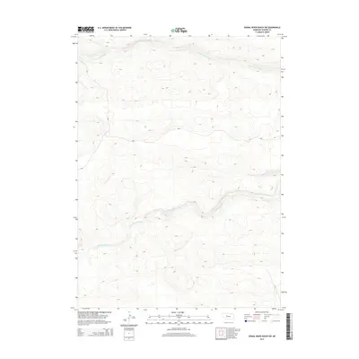
2014 Map of Dismal River Ranch SW
USGS Topo · Published 2014About this map
N Fork Dismal River and S Fork Dismal River define the hydrography of this Hooker County landscape, cutting across the expansive Sandhills terrain. The 2014 survey reveals the characteristic drainage patterns of the region, where the two forks of the river flow roughly parallel toward the east. Between these major watercourses, the land is characterized by numerous depressions and rising dunes, with Spring Cr feeding into the southern fork near the eastern boundary. This map serves as a primary record of the modern water table and land forms in this sparsely populated portion of Nebraska, showing the exact paths of the river channels through the shifting dune topography.
Find a feature on this map
3 named features on this map. Tap any name to fly to it.
Don’t see what you’re looking for? This feature index may not catch every label — zoom into the map to look around manually.
Map Details
Editions of this 2014 Dismal River Ranch SW Map
This is the sole edition of this map. No revisions or reprints were ever made.
Other maps of this area

1947 · Dismal River Ranch
USGS Topo · 1:62,500

1948 · Carr Lake
USGS Topo · 1:62,500

1949 · Dismal River Ranch
USGS Topo · 1:62,500

1949 · Flats
USGS Topo · 1:62,500

1949 · Wright Valley
USGS Topo · 1:62,500

1950 · Flats
USGS Topo · 1:62,500

1950 · Carr Lake
USGS Topo · 1:62,500

1951 · Wright Valley
USGS Topo · 1:62,500

1954 · North Platte
USGS Topo · 1:250,000

1956 · North Platte
USGS Topo · 1:250,000