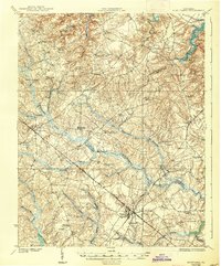
1919 Map of Disputanta
USGS Topo · Published 1938About this map
Blackwater River and its intricate network of swamps, including Second Swamp and Otterdam Swamp, dominate the low-lying interior of Prince George, Surry, and Sussex counties. This 1917 survey, published as an edition of 1919, captures a landscape defined by small rural hubs and the Norfolk and Western railway corridor, which connects Disputanta and Waverly. The density of community infrastructure is notable, with numerous country schools like Star Hill School and Chappell Hill School scattered alongside spiritual centers such as Sycamore Church and Zion Union Church. The transition from the tidal reaches of Wards Creek near Johnson Landing in the northeast to the timbered swamps of the south illustrates the reliance on both water and rail for local commerce. Genealogists will find value in the specific crossroads and family-named landmarks like Rolands Crossroads and Savedge.
Find a feature on this map
53 named features on this map. Tap any name to fly to it.
Don’t see what you’re looking for? This feature index may not catch every label — zoom into the map to look around manually.
Map Details
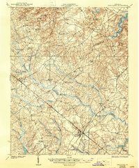
Editions of this 1919 Disputanta Map
3 editions found
Other maps of this area

1894 · Bermuda Hundred
USGS Topo · 1:62,500

1894 · Petersburg
USGS Topo · 1:62,500

1917 · Toano
USGS Topo · 1:62,500

1918 · Charles City
USGS Topo · 1:62,500

1918 · Toano
USGS Topo · 1:62,500

1919 · Jarratt
USGS Topo · 1:62,500

1919 · Surry
USGS Topo · 1:62,500

1919 · Disputanta
USGS Topo · 1:62,500

1919 · Homeville
USGS Topo · 1:48,000

1920 · Ivor
USGS Topo · 1:62,500