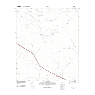
2010 Map of Divide Country
USGS Topo · Published 2010About this map
Divide Country characterizes this section of the West Texas landscape, where the terrain is defined by a complex network of seasonal drainages. The map reveals the intricate watershed patterns of South Sixmile Draw and North Sixmile Draw, which cut through the arid geography. This 2010 U.S. Geological Survey representation documents the modern infrastructure of the region, anchored by the passage of Interstate 10 as it skirts Upper Fourmile Draw. While much of the land remains open, local access is facilitated by routes like Long Loop Rd, connecting various points across the high desert floor. The northern portion of the quadrangle is marked by more pronounced relief where Riffle Canyon and Little Riffle Canyon descend into the surrounding draws, illustrating the erosion patterns typical of this portion of Pecos County.
Find a feature on this map
9 named features on this map. Tap any name to fly to it.
Don’t see what you’re looking for? This feature index may not catch every label — zoom into the map to look around manually.
Map Details
Editions of this 2010 Divide Country Map
This is the sole edition of this map. No revisions or reprints were ever made.
Other maps of this area

1929 · Sheffield
USGS Topo · 1:125,000

1929 · Independence Draw Quadrangle
USGS Topo · 1:125,000

1954 · Fort Stockton
USGS Topo · 1:250,000

1954 · Sonora
USGS Topo · 1:250,000

1958 · Sonora
USGS Topo · 1:250,000

1958 · Fort Stockton
USGS Topo · 1:250,000

1967 · Twelvemile Camp
USGS Topo · 1:24,000

1967 · Divide Country
USGS Topo · 1:24,000

1967 · Sheffield NW
USGS Topo · 1:24,000

1967 · Deer Canyon
USGS Topo · 1:24,000