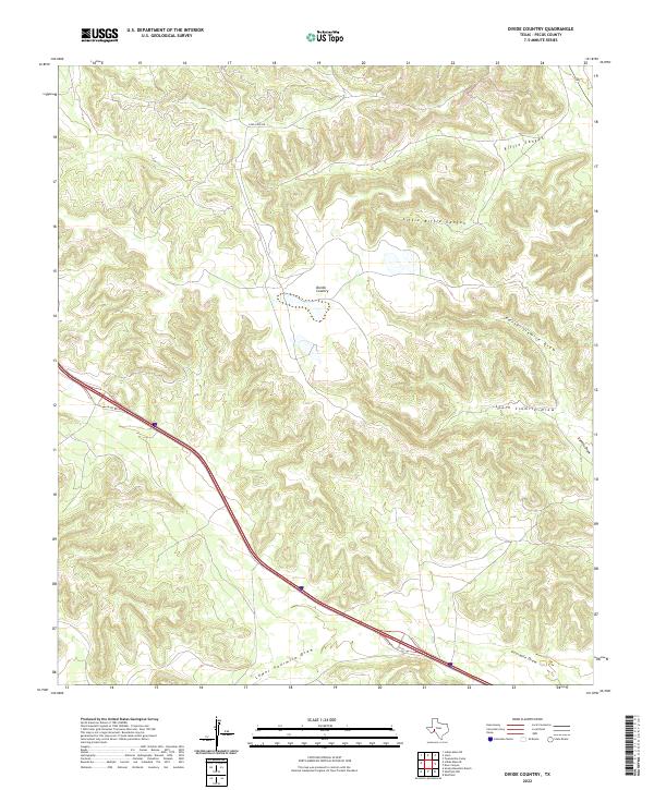
2022 Map of Divide Country
USGS Topo · Published 2022About this map
Divide Country serves as the central focal point of this Pecos County landscape, where the high plateau is incised by a complex system of seasonal drainages and canyons. The terrain is defined by dramatic elevation changes, most notably where Riffle Canyon and Little Riffle Canyon cut through the northern reaches. These natural corridors give way to an extensive network of draws, including North Sixmile Draw, South Sixmile Draw, and Sixmile Draw, which illustrate the arid-land hydrology of West Texas. Interstate 10 traverses the southern half of the map, accompanied by the I10 Svc Rd, providing a modern transport contrast to the isolated paths like Long Loop Rd. The map also captures the lower reaches of the watershed at Lower Fourmile Draw and Fourmile Draw, documenting the essential drainage patterns that dictate the placement of ranch roads and remote settlements in this part of the Trans-Pecos region.
Find a feature on this map
10 named features on this map. Tap any name to fly to it.
Don’t see what you’re looking for? This feature index may not catch every label — zoom into the map to look around manually.
Map Details
Editions of this 2022 Divide Country Map
This is the sole edition of this map. No revisions or reprints were ever made.
Other maps of this area

1929 · Sheffield
USGS Topo · 1:125,000

1929 · Independence Draw Quadrangle
USGS Topo · 1:125,000

1954 · Fort Stockton
USGS Topo · 1:250,000

1954 · Sonora
USGS Topo · 1:250,000

1958 · Sonora
USGS Topo · 1:250,000

1958 · Fort Stockton
USGS Topo · 1:250,000

1967 · Twelvemile Camp
USGS Topo · 1:24,000

1967 · Divide Country
USGS Topo · 1:24,000

1967 · Sheffield NW
USGS Topo · 1:24,000

1967 · Deer Canyon
USGS Topo · 1:24,000