
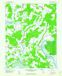
1942 Map of Dividing Creek
USGS Topo · Published 1962About this map
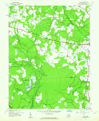
Dividing Creek forms a prominent natural boundary between Somerset and Worcester counties, winding through a mosaic of dense wetlands and cleared agricultural tracts. This 1942 survey captures a rural landscape defined by family-named branches and small social hubs centered on rural education and faith. Evidence of local community life is scattered throughout the countryside at sites like Ridgehill Sch, Adkinson Sch, and Olivet Ch, which is accompanied by Olivet Cem.
Find a feature on this map
24 named features on this map. Tap any name to fly to it.
Don’t see what you’re looking for? This feature index may not catch every label — zoom into the map to look around manually.
Map Details
Editions of this 1942 Dividing Creek Map
This is the sole edition of this map. No revisions or reprints were ever made.
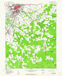
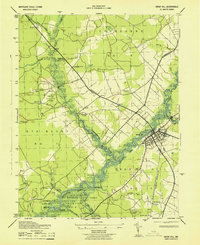
Other maps of this area

1901 · Snow Hill
USGS Topo · 1:62,500

1901 · Salisbury
USGS Topo · 1:62,500

1902 · Pittsville
USGS Topo · 1:62,500
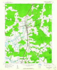
1942 · Kingston
USGS Topo · 1:24,000
1942 · Princess Anne
USGS Topo · 1:24,000
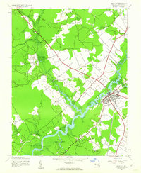
1942 · Snow Hill
USGS Topo · 1:24,000
1942 · Eden
USGS Topo · 1:24,000
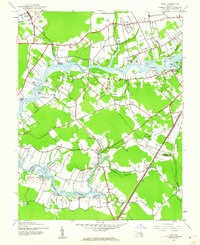
1942 · Wango
USGS Topo · 1:24,000
1942 · Salisbury
USGS Topo · 1:24,000
1943 · Snow Hill
USGS Topo · 1:31,680