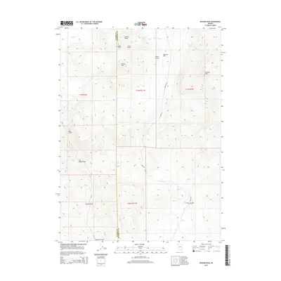
2015 Map of Division Peak
USGS Topo · Published 2015About this map
Division Peak and the Division Range dominate this high-desert landscape along the border of Washoe and Humboldt counties. The terrain is defined by dramatic elevation changes, where steep ridges give way to expansive basins like Donnelly Flat. This high-altitude environment is characterized by a network of isolated water sources essential for survival in the Great Basin, including McCarty Spring, Donnelly Spring, and King Springs. Human presence is marked primarily by the winding path of Barley Rd and the surveying lines of the Public Land Survey System. Strategic vantage points like Mt Observation and prominent volcanic features such as Ladden Cone offer a look at the geological complexity of the region. Deep drainages, most notably Leadville Canyon and Razor Canyon, carve through the uplands, illustrating the erosive forces at work in this arid portion of Nevada.
Find a feature on this map
25 named features on this map. Tap any name to fly to it.
Don’t see what you’re looking for? This feature index may not catch every label — zoom into the map to look around manually.
Map Details
Editions of this 2015 Division Peak Map
This is the sole edition of this map. No revisions or reprints were ever made.
Other maps of this area

1886 · Granite Range
USGS Topo · 1:250,000

1889 · Long Valley
USGS Topo · 1:250,000

1894 · Granite Range
USGS Topo · 1:250,000

1954 · Vya
USGS Topo · 1:250,000

1955 · Lovelock
USGS Topo · 1:250,000

1958 · Vya
USGS Topo · 1:250,000

1959 · Lovelock
USGS Topo · 1:250,000

1962 · Vya
USGS Topo · 1:250,000

1979 · Butte Spring
USGS Topo · 1:24,000

1980 · Melody Mountain
USGS Topo · 1:24,000