
1980 Map of Melody Mountain
USGS Topo · Published 1980About this map
The high-desert peaks of the Granite Range dominate this 1980 survey, characterized by extreme elevation changes and scattered water sources in northern Nevada. High-altitude landmarks like Melody Mountain and Wagon Tire Mountain tower over the landscape, while the presence of Melody Lake and Dry Lake near the Melody Rim suggests the seasonal nature of water in this arid environment. Ranching infrastructure is visible through named locations such as Negro Creek Ranch and Williams Place, providing a glimpse into the human footprint in this corner of Washoe County.
Find a feature on this map
33 named features on this map. Tap any name to fly to it.
Don’t see what you’re looking for? This feature index may not catch every label — zoom into the map to look around manually.
Map Details
Editions of this 1980 Melody Mountain Map
This is the sole edition of this map. No revisions or reprints were ever made.
Other maps of this area

1886 · Granite Range
USGS Topo · 1:250,000

1889 · Long Valley
USGS Topo · 1:250,000

1894 · Granite Range
USGS Topo · 1:250,000

1954 · Vya
USGS Topo · 1:250,000

1955 · Lovelock
USGS Topo · 1:250,000

1958 · Vya
USGS Topo · 1:250,000

1959 · Lovelock
USGS Topo · 1:250,000

1962 · Vya
USGS Topo · 1:250,000
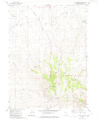
1980 · Fox Mountain
USGS Topo · 1:24,000
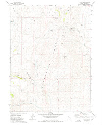
1980 · Leadville
USGS Topo · 1:24,000