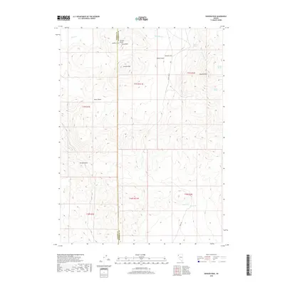
2018 Map of Division Peak
USGS Topo · Published 2018About this map
Division Peak and the high ridges of the Division Range dominate this corner of the High Desert on the boundary of Washoe and Humboldt Counties. The landscape is defined by its verticality, rising from the broad Donnelly Flat toward prominent summits such as Sheep Peaks and Mt Observation. Water sources, critical in this arid environment, are sparse but identified by various named springs, including King Spring, Cane Springs, and the high-elevation Pipeline Spring.
Find a feature on this map
25 named features on this map. Tap any name to fly to it.
Don’t see what you’re looking for? This feature index may not catch every label — zoom into the map to look around manually.
Map Details
Editions of this 2018 Division Peak Map
This is the sole edition of this map. No revisions or reprints were ever made.
Other maps of this area

1886 · Granite Range
USGS Topo · 1:250,000

1889 · Long Valley
USGS Topo · 1:250,000

1894 · Granite Range
USGS Topo · 1:250,000

1954 · Vya
USGS Topo · 1:250,000

1955 · Lovelock
USGS Topo · 1:250,000

1958 · Vya
USGS Topo · 1:250,000

1959 · Lovelock
USGS Topo · 1:250,000

1962 · Vya
USGS Topo · 1:250,000

1979 · Butte Spring
USGS Topo · 1:24,000

1980 · Melody Mountain
USGS Topo · 1:24,000