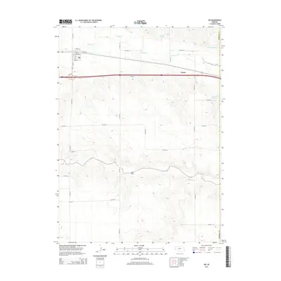
2014 Map of Dix
USGS Topo · Published 2014About this map
Dix serves as a focal point of this Kimball County landscape, where the street grid including Lennox St, Lincoln Ave, and Crownover St meets the transport corridor. The village is positioned north of the Dix Cem, reflecting the early 21st-century layout of this High Plains community. The drainage of Lodgepole Cr winds across the northern section, supported by water management features like Kenton Reservoir and Johnson Reservoir. To the east, the siding at Jacinto marks a quiet point along the rail line, while the southern terrain is dominated by the prominent natural depression of Sand Draw. The map illustrates a strictly organized section-line road system, including Co Road 59 and Co Road 63, which underpins the agricultural character of the region.
Find a feature on this map
29 named features on this map. Tap any name to fly to it.
Don’t see what you’re looking for? This feature index may not catch every label — zoom into the map to look around manually.
Map Details
Editions of this 2014 Dix Map
This is the sole edition of this map. No revisions or reprints were ever made.
Other maps of this area

1954 · Scottsbluff
USGS Topo · 1:250,000

1958 · Scottsbluff
USGS Topo · 1:250,000

1972 · Potter SW
USGS Topo · 1:24,000

1972 · Dix
USGS Topo · 1:24,000

1972 · Owasco
USGS Topo · 1:24,000

1972 · Kimball SE
USGS Topo · 1:24,000

1972 · Potter SE
USGS Topo · 1:24,000

1972 · Potter
USGS Topo · 1:24,000

1973 · Potter 2 SW
USGS Topo · 1:24,000

1973 · Kimball 1 SE
USGS Topo · 1:24,000