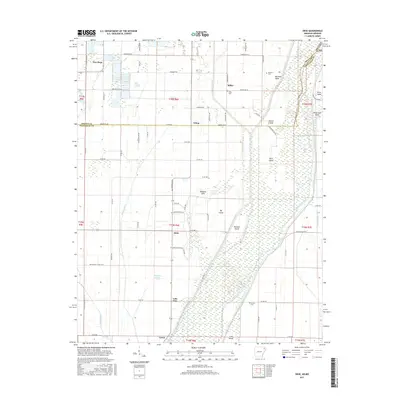
2017 Map of Dixie
USGS Topo · Published 2017About this map
Saint Francis River and its complex system of marshes and islands dominate this landscape on the border of Greene and Craighead counties. The eastern half of the region is defined by low-lying wetland terrain, featuring prominent landmarks such as Big Island, Newton Island, and Cane Island. This hydrological network is further characterized by the presence of Eightmile Ditch and Big Bay Ditch, reflecting a long history of water management to support the surrounding agricultural settlements. Scattered throughout the higher ground are small communities such as Dixie, Miller, and Schug. For those researching local history, the map provides precise locations for the Miller Cem, Parsons Cem, and Burrow Cem, which serve as key points of reference for the families that settled this area between the river and the northern edge of Lake View.
Find a feature on this map
48 named features on this map. Tap any name to fly to it.
Don’t see what you’re looking for? This feature index may not catch every label — zoom into the map to look around manually.
Map Details
Editions of this 2017 Dixie Map
This is the sole edition of this map. No revisions or reprints were ever made.
Other maps of this area

1939 · Jonesboro
USGS Topo · 1:62,500

1940 · Gainesville
USGS Topo · 1:62,500

1940 · Marmaduke
USGS Topo · 1:62,500

1941 · Leachville
USGS Topo · 1:62,500

1953 · Memphis
USGS Topo · 1:250,000

1956 · Leachville
USGS Topo · 1:62,500

1956 · Memphis
USGS Topo · 1:250,000

1957 · Poplar Bluff
USGS Topo · 1:250,000

1958 · Jonesboro
USGS Topo · 1:62,500

1958 · Marmaduke
USGS Topo · 1:62,500