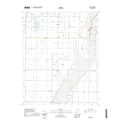
2020 Map of Dixie
USGS Topo · Published 2020About this map
The Saint Francis River dominates this region of Northeast Arkansas, carving a complex landscape of islands and lowlands near the border of Greene and Craighead counties. The map reveals a land defined by its drainage history, where natural features like Big Cypress Swamp, Bagwell Slough, and Deasons Lake coexist with an extensive network of man-made channels including Eightmile Ditch and Big Bay Ditch. This intricate water system shapes the placement of small agricultural communities such as Dixie, Lester, and Schug.
Find a feature on this map
79 named features on this map. Tap any name to fly to it.
Don’t see what you’re looking for? This feature index may not catch every label — zoom into the map to look around manually.
Map Details
Editions of this 2020 Dixie Map
This is the sole edition of this map. No revisions or reprints were ever made.
Other maps of this area

1939 · Jonesboro
USGS Topo · 1:62,500

1940 · Gainesville
USGS Topo · 1:62,500

1940 · Marmaduke
USGS Topo · 1:62,500

1941 · Leachville
USGS Topo · 1:62,500

1953 · Memphis
USGS Topo · 1:250,000

1956 · Leachville
USGS Topo · 1:62,500

1956 · Memphis
USGS Topo · 1:250,000

1957 · Poplar Bluff
USGS Topo · 1:250,000

1958 · Jonesboro
USGS Topo · 1:62,500

1958 · Marmaduke
USGS Topo · 1:62,500