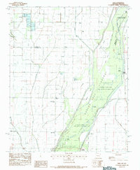
1983 Map of Dixie
USGS Topo · Published 1984About this map
St Francis River bottomlands dominate this northeastern Arkansas landscape, where the managed waters of the Marked Tree Floodway cut a wide path through the St Francis Sunken Lands State Wildlife Management Area. This territory, straddling the Green Co Craighead Co line, is defined by an intricate network of drainage systems including Big Bay Ditch, Eightmile Ditch, and Little Slough Ditch, illustrating the intensive reclamation of the Mississippi Embayment's alluvial plains for agriculture.
Find a feature on this map
35 named features on this map. Tap any name to fly to it.
Don’t see what you’re looking for? This feature index may not catch every label — zoom into the map to look around manually.
Map Details
Editions of this 1983 Dixie Map
This is the sole edition of this map. No revisions or reprints were ever made.
Other maps of this area

1939 · Jonesboro
USGS Topo · 1:62,500

1940 · Gainesville
USGS Topo · 1:62,500

1940 · Marmaduke
USGS Topo · 1:62,500

1941 · Leachville
USGS Topo · 1:62,500

1953 · Memphis
USGS Topo · 1:250,000

1956 · Leachville
USGS Topo · 1:62,500

1956 · Memphis
USGS Topo · 1:250,000

1957 · Poplar Bluff
USGS Topo · 1:250,000

1958 · Jonesboro
USGS Topo · 1:62,500

1958 · Marmaduke
USGS Topo · 1:62,500