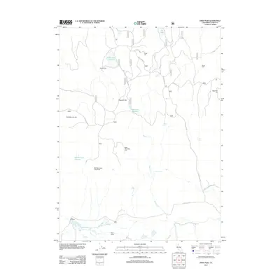
2012 Map of Dixie Peak
USGS Topo · Published 2012About this map
Dixie Valley anchors this high-elevation landscape in Lassen County, defined by its complex network of seasonal water sources and expansive flats. The southern portion of the sheet features Dixie Ranch and Dixie Crossing near the banks of Horse Cr and Indian Cr, representing the modest human footprint in this arid terrain. The topography rises toward Dixie Peak and the unique depression of the Bald Mountain Sink.
Find a feature on this map
30 named features on this map. Tap any name to fly to it.
Don’t see what you’re looking for? This feature index may not catch every label — zoom into the map to look around manually.
Map Details
Editions of this 2012 Dixie Peak Map
This is the sole edition of this map. No revisions or reprints were ever made.
Other maps of this area

1886 · Alturas
USGS Topo · 1:250,000

1886 · Honey Lake
USGS Topo · 1:250,000

1886 · Lassen Peak
USGS Topo · 1:250,000

1886 · Modoc Lava Bed
USGS Topo · 1:250,000

1891 · Honey Lake
USGS Topo · 1:250,000

1892 · Modoc Lava-Bed
USGS Topo · 1:250,000

1892 · Lassen Peak
USGS Topo · 1:250,000

1892 · Alturas
USGS Topo · 1:250,000

1893 · Honey Lake
USGS Topo · 1:250,000

1894 · Lassen Peak
USGS Topo · 1:250,000