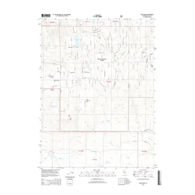
2015 Map of Dixie Peak
USGS Topo · Published 2015About this map
Modoc National Forest dominates this high-elevation landscape in Lassen County, defined by a series of volcanic flats and water management infrastructure. The terrain is characterized by broad basins like Dixie Valley and Wagontire Flat, which contrast with prominent peaks such as Dixie Peak and Bald Mtn. A network of drainage and storage is evident through the presence of the Hoover Flat Reservoir, Wagontire Reservoir, and Bald Mountain Reservoir, supporting the local water needs of this arid region.
Find a feature on this map
48 named features on this map. Tap any name to fly to it.
Don’t see what you’re looking for? This feature index may not catch every label — zoom into the map to look around manually.
Map Details
Editions of this 2015 Dixie Peak Map
This is the sole edition of this map. No revisions or reprints were ever made.
Other maps of this area

1886 · Alturas
USGS Topo · 1:250,000

1886 · Honey Lake
USGS Topo · 1:250,000

1886 · Lassen Peak
USGS Topo · 1:250,000

1886 · Modoc Lava Bed
USGS Topo · 1:250,000

1891 · Honey Lake
USGS Topo · 1:250,000

1892 · Modoc Lava-Bed
USGS Topo · 1:250,000

1892 · Lassen Peak
USGS Topo · 1:250,000

1892 · Alturas
USGS Topo · 1:250,000

1893 · Honey Lake
USGS Topo · 1:250,000

1894 · Lassen Peak
USGS Topo · 1:250,000