Loading...
Loading map...2023 Map of Dixie
USGS Topo · Published 2023About this map
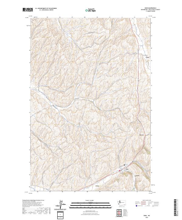
Dixie serves as the primary hub of this Walla Walla County landscape, situated where the terrain transitions toward the elevations of Biscuit Ridge. The settlement pattern follows the drainage of Mud Creek and Dry Creek, with the village itself clustered near the Dixie Cem. This modern survey reveals a network of rural roads, such as Stonecipher Rd and Middle Waitsburg Rd, that navigate the undulating loess hills characteristic of this dryland farming region.
Find a feature on this map
38 named features on this map. Tap any name to fly to it.
Don’t see what you’re looking for? This feature index may not catch every label — zoom into the map to look around manually.
Map Details
Date Portrayed2023
Date Published2023
PublisherU.S. Geological Survey
Map TypeTopographic
Scale1:24000
Physical Dimensions24 x 29 inches
Editions of this 2023 Dixie Map
This is the sole edition of this map. No revisions or reprints were ever made.
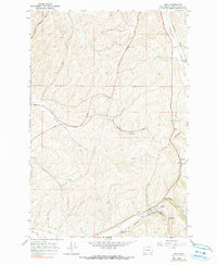
Historical Maps of Dixie Through Time
Featured Locations
Source Details
SourceU.S. Geological Survey
CopyrightPublic Domain