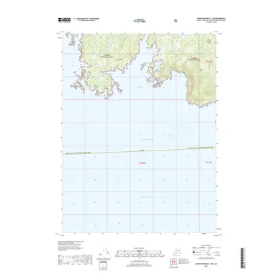
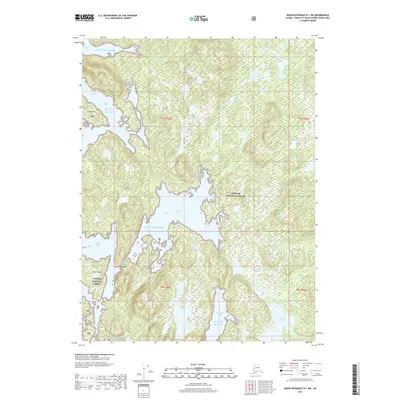
2017 Map of Dixon Entrance C-1 NW
USGS Topo · Published 2017About this map
Nichols Mtn rises above the complex southern coastline of Prince of Wales Island in this 2017 survey of the Tongass National Forest. The landscape is defined by the deep indentations of Brownson Bay and the narrow passage of Minnie Cutoff, illustrating the maritime nature of the Prince of Wales-Hyder Census Area. To the south, the map transitions from the forested slopes and inland waters like Nichols Lake into the open expanse of the Dixon Entrance, where the land ends at distinctive features such as The Haystack and White Rocks. This topographic study provides a detailed view of the interaction between the Gulf of Alaska and the intricate coastal geography of Southeast Alaska before it meets the Pacific Ocean.
Find a feature on this map
21 named features on this map. Tap any name to fly to it.
Don’t see what you’re looking for? This feature index may not catch every label — zoom into the map to look around manually.
Map Details
Editions of this 2017 Dixon Entrance C-1 NW Map
This is the sole edition of this map. No revisions or reprints were ever made.
Other maps of this area

1948 · Dixon Entrance D-2
USGS Topo · 1:63,360

1948 · Dixon Entrance C-1
USGS Topo · 1:63,360

1948 · Dixon Entrance D-1
USGS Topo · 1:63,360

1951 · Dixon Entrance
USGS Topo · 1:250,000

1951 · Dixon Entrance D-2
USGS Topo · 1:63,360

1959 · Dixon Entrance
USGS Topo · 1:250,000
1994 · Dixon Entrance D-1
USGS Topo · 1:63,360
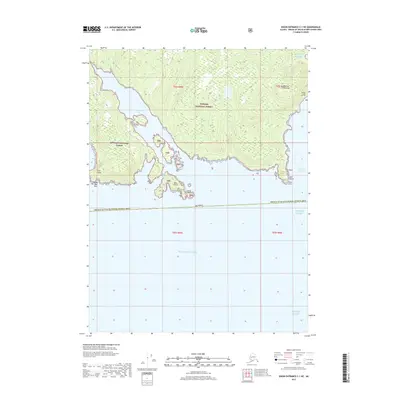
2017 · Dixon Entrance C-1 NE
USGS Topo · 1:25,000
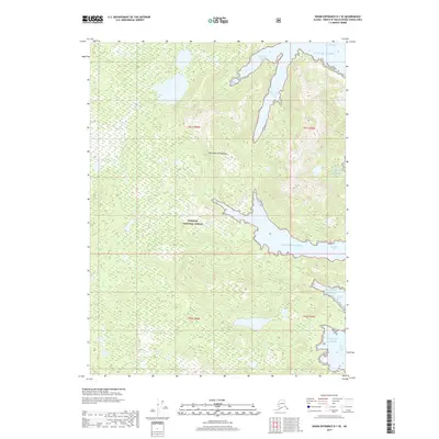
2017 · Dixon Entrance D-1 SE
USGS Topo · 1:25,000
2017 · Dixon Entrance D-1 SW
USGS Topo · 1:25,000