
1948 Map of Dixon Entrance C-1
USGS Topo · Published 1957About this map
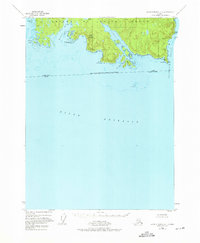
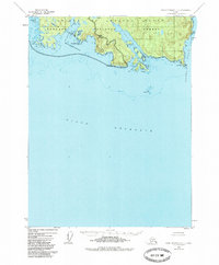
Prince of Wales Island meets the sea at the southern reaches of the Alexander Archipelago, where the international boundary between Alaska and British Columbia cuts across the open waters of Dixon Entrance. This 1948 survey, based on aerial photography from the same year, captures a landscape defined by its complex shoreline of fjords and inlets. High points like Nichols Mountain overlook deep indentations such as Nichols Bay and Brownson Bay, while the eastern edge is marked by the steep profile of Huaji Cliff and Cape Chacon at the entrance to Clarence Strait. The presence of Nichols Lake and numerous rocky hazards, including Brown Bear Rks and Nunez Rks, highlights the importance of the maritime environment to this portion of the Tongass National Forest. The intricate network of waterways is further detailed through passages like Minnie Cutoff and Bean Cutoff, which weave between smaller landmasses like Seagull I and Intun Is.
Find a feature on this map
24 named features on this map. Tap any name to fly to it.
Don’t see what you’re looking for? This feature index may not catch every label — zoom into the map to look around manually.
Map Details
Editions of this 1948 Dixon Entrance C-1 Map
3 editions found
Other maps of this area

1948 · Dixon Entrance D-2
USGS Topo · 1:63,360

1948 · Prince Rupert D-6
USGS Topo · 1:63,360

1948 · Dixon Entrance D-1
USGS Topo · 1:63,360

1951 · Prince Rupert
USGS Topo · 1:250,000

1951 · Dixon Entrance
USGS Topo · 1:250,000

1951 · Dixon Entrance D-2
USGS Topo · 1:63,360

1951 · Prince Rupert D-6
USGS Topo · 1:63,360

1959 · Dixon Entrance
USGS Topo · 1:250,000

1959 · Prince Rupert
USGS Topo · 1:250,000

1964 · Prince Rupert
USGS Topo · 1:250,000