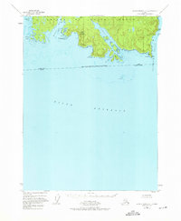
1948 Map of Dixon Entrance C-1
USGS Topo · Published 1975About this map
Prince of Wales Island meets the turbulent waters of the Dixon Entrance in this 1948 topographic study. The landscape is defined by its deep maritime indentations, most notably the long reach of Nichols Bay and the sheltered waters of Brownson Bay. Coastal landmarks such as Cape Chacon and Pt Nunez provide critical navigational references at the southern tip of the Alexander Archipelago.
Find a feature on this map
25 named features on this map. Tap any name to fly to it.
Don’t see what you’re looking for? This feature index may not catch every label — zoom into the map to look around manually.
Map Details
Editions of this 1948 Dixon Entrance C-1 Map
3 editions found
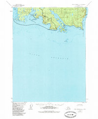
Other maps of this area

1948 · Dixon Entrance D-2
USGS Topo · 1:63,360

1948 · Prince Rupert D-6
USGS Topo · 1:63,360

1948 · Dixon Entrance C-1
USGS Topo · 1:63,360

1948 · Dixon Entrance D-1
USGS Topo · 1:63,360

1951 · Prince Rupert
USGS Topo · 1:250,000

1951 · Dixon Entrance
USGS Topo · 1:250,000

1951 · Dixon Entrance D-2
USGS Topo · 1:63,360

1951 · Prince Rupert D-6
USGS Topo · 1:63,360

1959 · Dixon Entrance
USGS Topo · 1:250,000

1959 · Prince Rupert
USGS Topo · 1:250,000