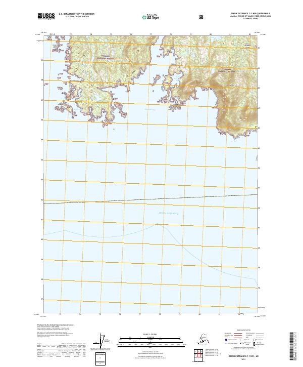
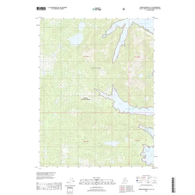
2021 Map of Dixon Entrance C-1 NW
USGS Topo · Published 2021About this map
Prince of Wales Island and its intricate shoreline dominate this 2021 survey of the southernmost reaches of the Alexander Archipelago. The landscape is characterized by steep coastal elevations, most notably at Nichols Mtn, which rises above Nichols Lake in the eastern portion of the sheet. Almost the entire landmass is contained within the Tongass National Forest, illustrating the protected wilderness character of this region where terrestrial and marine environments meet.
Find a feature on this map
17 named features on this map. Tap any name to fly to it.
Don’t see what you’re looking for? This feature index may not catch every label — zoom into the map to look around manually.
Map Details
Editions of this 2021 Dixon Entrance C-1 NW Map
This is the sole edition of this map. No revisions or reprints were ever made.
Other maps of this area

1948 · Dixon Entrance D-2
USGS Topo · 1:63,360

1948 · Dixon Entrance C-1
USGS Topo · 1:63,360

1948 · Dixon Entrance D-1
USGS Topo · 1:63,360

1951 · Dixon Entrance
USGS Topo · 1:250,000

1951 · Dixon Entrance D-2
USGS Topo · 1:63,360

1959 · Dixon Entrance
USGS Topo · 1:250,000
1994 · Dixon Entrance D-1
USGS Topo · 1:63,360
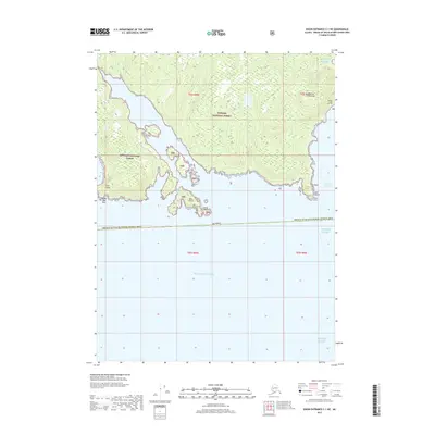
2017 · Dixon Entrance C-1 NE
USGS Topo · 1:25,000
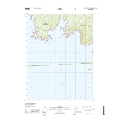
2017 · Dixon Entrance C-1 NW
USGS Topo · 1:25,000
2017 · Dixon Entrance D-1 SE
USGS Topo · 1:25,000