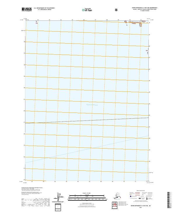
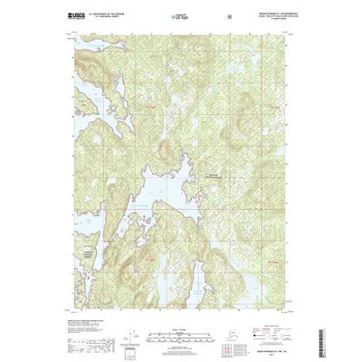
2021 Map of Dixon Entrance C-3 OE E NE
USGS Topo · Published 2021About this map
Dixon Entrance dominates the majority of this maritime and coastal survey, representing the critical waterway between the Alexander Archipelago in Alaska and Haida Gwaii. The map captures the northern edge of this strait at the very edge of the Tongass National Forest, noted here as Tnf. The survey area is primarily open water, serving as a vital navigational corridor for the Prince of Wales-Hyder region. The terrestrial portion is limited to small island outcroppings and coastal fringes at the northern boundary, including portions of township t82s r86e and t82s r87e. These boundaries represent the southernmost reaches of the American national forest system in this part of Southeast Alaska.
Find a feature on this map
5 named features on this map. Tap any name to fly to it.
Don’t see what you’re looking for? This feature index may not catch every label — zoom into the map to look around manually.
Map Details
Editions of this 2021 Dixon Entrance C-3 OE E NE Map
This is the sole edition of this map. No revisions or reprints were ever made.
Other maps of this area

1948 · Dixon Entrance D-2
USGS Topo · 1:63,360

1948 · Dixon Entrance C-1
USGS Topo · 1:63,360

1948 · Dixon Entrance D-1
USGS Topo · 1:63,360

1951 · Dixon Entrance
USGS Topo · 1:250,000

1951 · Dixon Entrance D-2
USGS Topo · 1:63,360

1959 · Dixon Entrance
USGS Topo · 1:250,000
1994 · Dixon Entrance D-1
USGS Topo · 1:63,360
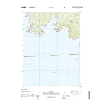
2017 · Dixon Entrance C-1 NW
USGS Topo · 1:25,000
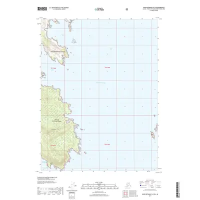
2017 · Dixon Entrance D-2 SW
USGS Topo · 1:25,000
2017 · Dixon Entrance D-1 SW
USGS Topo · 1:25,000