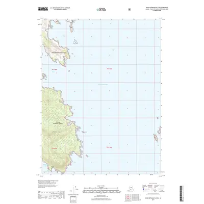
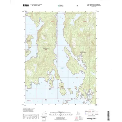
2017 Map of Dixon Entrance D-2 SW
USGS Topo · Published 2017About this map
Tongass National Forest dominates the terrestrial landscape of this maritime survey, covering the heavily indented shorelines of Long Island. The map focuses on the complex transition between land and the open waters of the Gulf of Alaska, characterized by numerous protective inlets and prominent coastal landmarks. Significant maritime features include Natoma Bay and the narrow passage of Kaigani Strait, which separates the island from adjacent landmasses. The coastal geography is defined by sharp headlands such as Natoma Point and Kaigani Point, which serve as vital navigational markers in this remote region of Southeast Alaska. This topographic study emphasizes the intersection of forest service lands and the vast waterway of Cordova Bay, illustrating the natural harbors and rugged boundary lines of the Prince of Wales-Hyder Census Area.
Find a feature on this map
15 named features on this map. Tap any name to fly to it.
Don’t see what you’re looking for? This feature index may not catch every label — zoom into the map to look around manually.
Map Details
Editions of this 2017 Dixon Entrance D-2 SW Map
This is the sole edition of this map. No revisions or reprints were ever made.
Other maps of this area

1948 · Dixon Entrance D-2
USGS Topo · 1:63,360
1948 · Dixon Entrance C-3
USGS Topo · 1:63,360

1948 · Dixon Entrance D-3
USGS Topo · 1:63,360

1951 · Dixon Entrance
USGS Topo · 1:250,000

1951 · Dixon Entrance D-3
USGS Topo · 1:63,360

1951 · Dixon Entrance D-2
USGS Topo · 1:63,360

1959 · Dixon Entrance
USGS Topo · 1:250,000
1994 · Dixon Entrance C-3
USGS Topo · 1:63,360
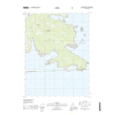
2017 · Dixon Entrance C-3 NE
USGS Topo · 1:25,000
2017 · Dixon Entrance D-2 NE
USGS Topo · 1:25,000