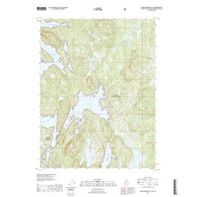
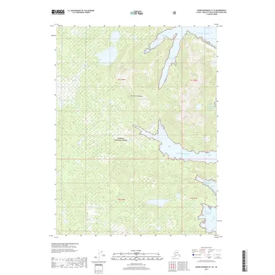
2017 Map of Dixon Entrance D-1 SW
USGS Topo · Published 2017About this map
The Tongass National Forest dominates this coastal landscape, where the Gulf of Alaska carves a complex network of protected waters and rugged islands. The central Hessa Inlet reaches deep into the shoreline, creating a sheltered maritime environment characterized by narrow passages and secluded harbors. Navigation through these waters relies on distinct landmarks such as Whirlpool Point and the restrictive Hessa Narrows, which separates the mainland from Hessa Island. To the south, Nichols Lake represents one of the few named interior freshwater features in this heavily forested terrain.
Find a feature on this map
18 named features on this map. Tap any name to fly to it.
Don’t see what you’re looking for? This feature index may not catch every label — zoom into the map to look around manually.
Map Details
Editions of this 2017 Dixon Entrance D-1 SW Map
This is the sole edition of this map. No revisions or reprints were ever made.
Other maps of this area

1948 · Dixon Entrance D-2
USGS Topo · 1:63,360

1948 · Dixon Entrance C-1
USGS Topo · 1:63,360

1948 · Dixon Entrance D-1
USGS Topo · 1:63,360

1951 · Dixon Entrance
USGS Topo · 1:250,000

1951 · Dixon Entrance D-2
USGS Topo · 1:63,360

1959 · Dixon Entrance
USGS Topo · 1:250,000
1994 · Dixon Entrance D-1
USGS Topo · 1:63,360
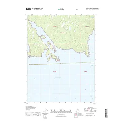
2017 · Dixon Entrance C-1 NE
USGS Topo · 1:25,000
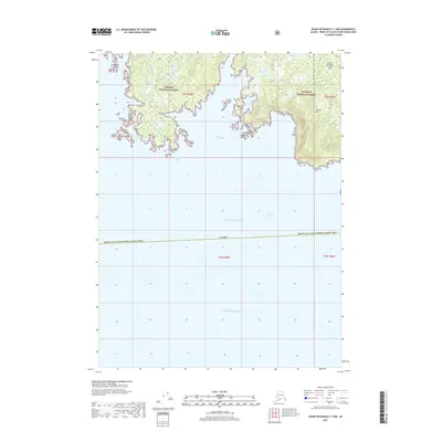
2017 · Dixon Entrance C-1 NW
USGS Topo · 1:25,000
2017 · Dixon Entrance D-1 SE
USGS Topo · 1:25,000