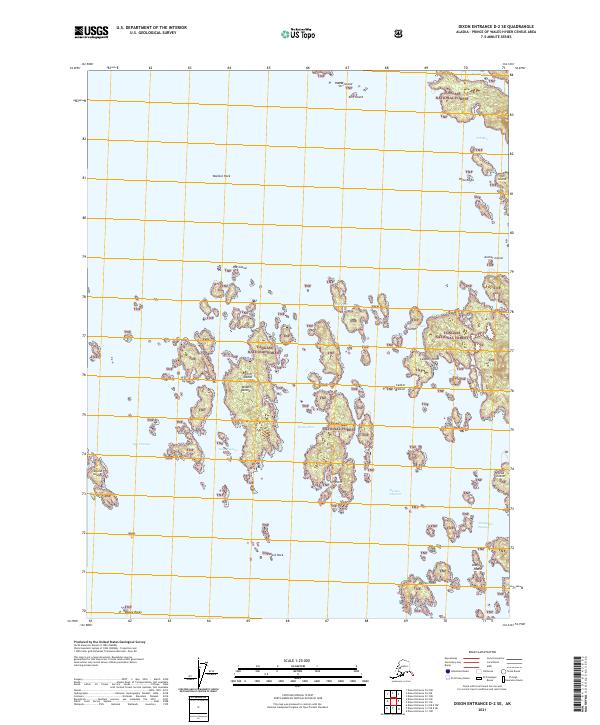
2021 Map of Dixon Entrance D-2 SE
USGS Topo · Published 2021About this map
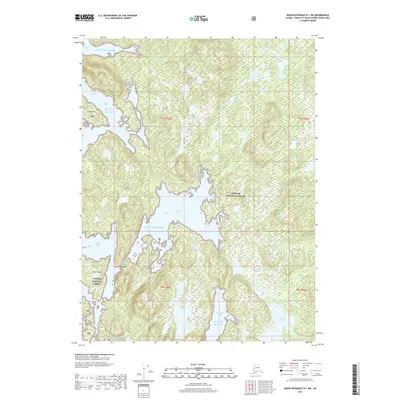
The Tongass National Forest dominates this maritime landscape of the Prince of Wales-Hyder Census Area, where a complex network of islands and waterways defines the southeastern Alaskan coast. This particular survey captures a high-resolution view of the intricate coastline around Hunter Bay and Tah Bay, illustrating the navigational challenges of the region. Notable landmarks such as The Narrows and Rocky Pass highlight the narrow channels that local vessels must negotiate between larger landmasses and the myriad smaller outcroppings like Middle Island and the Barrier Islands. The topography is a maze of named points and passages, including Mexico Point and Thompson Passage, which serve as vital reference points for maritime activity in these remote waters. Scattered rocks and shoals, such as Wallace Rock and Dewey Rocks, are meticulously charted, providing essential data for those studying the geological and navigational history of the Dixon Entrance.
Find a feature on this map
32 named features on this map. Tap any name to fly to it.
Don’t see what you’re looking for? This feature index may not catch every label — zoom into the map to look around manually.
Map Details
Editions of this 2021 Dixon Entrance D-2 SE Map
This is the sole edition of this map. No revisions or reprints were ever made.
Other maps of this area

1948 · Dixon Entrance D-2
USGS Topo · 1:63,360

1948 · Dixon Entrance C-1
USGS Topo · 1:63,360

1948 · Dixon Entrance D-1
USGS Topo · 1:63,360

1951 · Dixon Entrance
USGS Topo · 1:250,000

1951 · Dixon Entrance D-2
USGS Topo · 1:63,360

1959 · Dixon Entrance
USGS Topo · 1:250,000
1994 · Dixon Entrance D-1
USGS Topo · 1:63,360
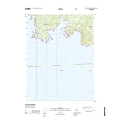
2017 · Dixon Entrance C-1 NW
USGS Topo · 1:25,000
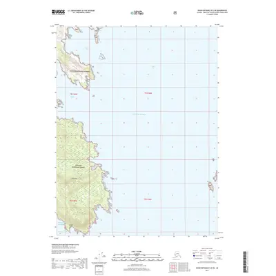
2017 · Dixon Entrance D-2 SW
USGS Topo · 1:25,000
2017 · Dixon Entrance D-1 SW
USGS Topo · 1:25,000