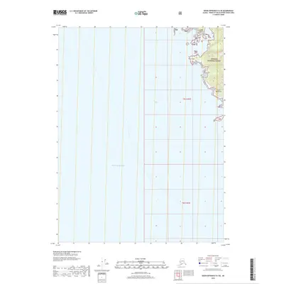
2018 Map of Dixon Entrance D-4 SE
USGS Topo · Published 2018About this map
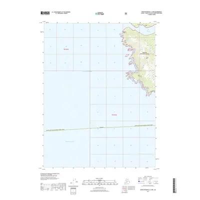
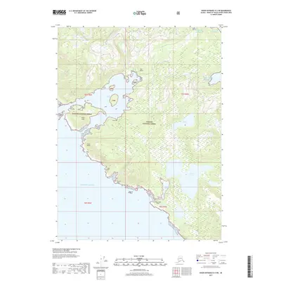
The eastern shore of the Pacific Ocean meets the coastline of Prince of Wales Island in this topographical record. Much of the land area is occupied by the Tongass National Forest, illustrating a landscape defined by federal management and coastal geography. Coastal landmarks such as Ritter Point and Cape Magdalena serve as primary navigational points along this maritime frontier. The map reveals the intricate shoreline of the Alaska Panhandle, where steep terrain and dense forestry come directly to the water's edge. This specific area, within the Prince of Wales-Hyder Census Area, highlights the remote nature of the region, featuring only natural landmarks and forest boundaries without evidence of modern road infrastructure or permanent settlements.
Find a feature on this map
7 named features on this map. Tap any name to fly to it.
Don’t see what you’re looking for? This feature index may not catch every label — zoom into the map to look around manually.
Map Details
Editions of this 2018 Dixon Entrance D-4 SE Map
This is the sole edition of this map. No revisions or reprints were ever made.
Other maps of this area
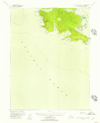
1948 · Dixon Entrance C-3
USGS Topo · 1:63,360

1948 · Dixon Entrance D-4
USGS Topo · 1:63,360

1948 · Dixon Entrance D-3
USGS Topo · 1:63,360

1951 · Dixon Entrance
USGS Topo · 1:250,000

1951 · Dixon Entrance D-3
USGS Topo · 1:63,360
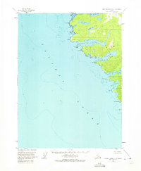
1951 · Dixon Entrance D-4
USGS Topo · 1:63,360

1959 · Dixon Entrance
USGS Topo · 1:250,000
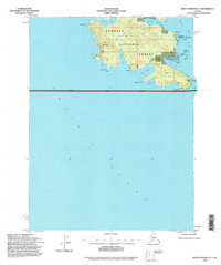
1994 · Dixon Entrance C-3
USGS Topo · 1:63,360
2017 · Dixon Entrance C-3 NW
USGS Topo · 1:25,000
2017 · Dixon Entrance D-3 SW
USGS Topo · 1:25,000