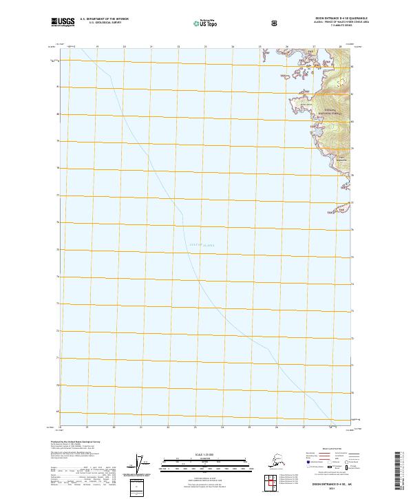
2021 Map of Dixon Entrance D-4 SE
USGS Topo · Published 2021About this map
Tongass National Forest meets the open ocean along the southeastern edge of Alaska's maritime wilderness. This coastal survey identifies the transition from the deep waters of the Gulf of Alaska to the intricate, rocky shoreline of Prince of Wales Island. The terrain is marked by significant maritime landmarks such as Ritter Point and the southward projection of Cape Magdalena, which guide navigators along this complex archipelago. The interior is largely dominated by the TNF designation, indicating protected federal lands that have shaped the region's conservation and land-use history. The presence of township boundaries like t81s r83e and t82s r83e provides a grid for locating specific coastal segments and inland peaks within this remote forest environment.
Find a feature on this map
7 named features on this map. Tap any name to fly to it.
Don’t see what you’re looking for? This feature index may not catch every label — zoom into the map to look around manually.
Map Details
Editions of this 2021 Dixon Entrance D-4 SE Map
This is the sole edition of this map. No revisions or reprints were ever made.
Other maps of this area
1948 · Dixon Entrance C-3
USGS Topo · 1:63,360

1948 · Dixon Entrance D-4
USGS Topo · 1:63,360

1948 · Dixon Entrance D-3
USGS Topo · 1:63,360

1951 · Dixon Entrance
USGS Topo · 1:250,000

1951 · Dixon Entrance D-3
USGS Topo · 1:63,360
1951 · Dixon Entrance D-4
USGS Topo · 1:63,360

1959 · Dixon Entrance
USGS Topo · 1:250,000
1994 · Dixon Entrance C-3
USGS Topo · 1:63,360
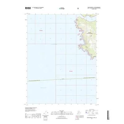
2017 · Dixon Entrance C-3 NW
USGS Topo · 1:25,000
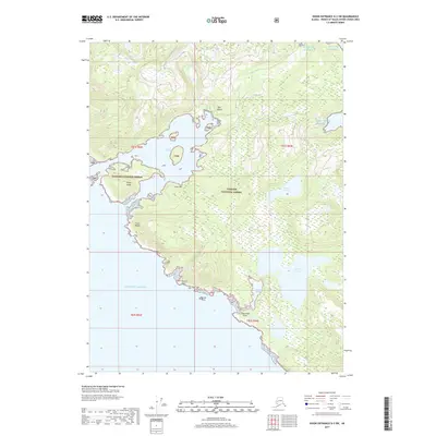
2017 · Dixon Entrance D-3 SW
USGS Topo · 1:25,000