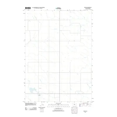
2012 Map of Dixon
USGS Topo · Published 2012About this map
Dixon sits at the intersection of rural routes in Gregory County, serving as the primary hub for this stretch of the South Dakota prairie. The landscape is defined by the subtle drainage patterns of several seasonal and perennial waterways, most notably Fivemile Cr and Dry Cr. These prairie streams cut through the terrain, influencing the layout of local roads like Co RD 2. For those researching local family ties, the Dixon Cem stands as a central historical landmark just north of the town center. The presence of Lake Burch and the winding course of Lone Tree Cr highlight the vital role of water management and natural catchments in this agricultural environment. The mapping reflects a traditional Great Plains settlement pattern, where small communities like Dixon anchor wide-reaching farm and ranch lands.
Find a feature on this map
8 named features on this map. Tap any name to fly to it.
Don’t see what you’re looking for? This feature index may not catch every label — zoom into the map to look around manually.
Map Details
Editions of this 2012 Dixon Map
This is the sole edition of this map. No revisions or reprints were ever made.
Other maps of this area

1940 · Iona
USGS Topo · 1:62,500

1944 · Iona
USGS Topo · 1:62,500

1955 · Mitchell
USGS Topo · 1:250,000

1959 · Mitchell
USGS Topo · 1:250,000

1971 · Hamill SE
USGS Topo · 1:24,000

1971 · Dixon SW
USGS Topo · 1:24,000

1971 · Rattlesnake Butte East
USGS Topo · 1:24,000

1971 · Dixon
USGS Topo · 1:24,000

1971 · Colome SE
USGS Topo · 1:24,000

1971 · Dixon SE
USGS Topo · 1:24,000