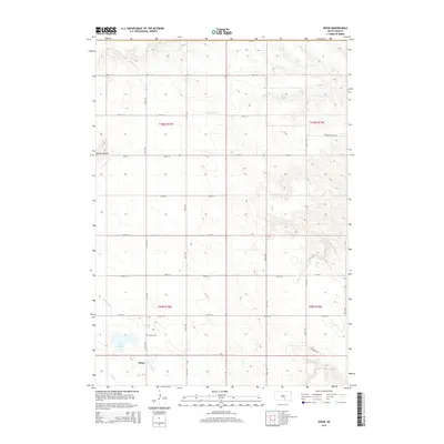
2015 Map of Dixon
USGS Topo · Published 2015About this map
The small unincorporated community of Dixon occupies the southwestern corner of this survey, situated near the headwaters of Lone Tree Cr and Bull Cr. This agricultural landscape is defined by the section-line grid of the Public Land Survey System, with the township lines of T100N and T99N meeting R73W and R72W to organize the prairie holdings. Local history is anchored by the Dixon Cem, located just north of the settlement, and Lake Burch which provides a rare water feature in this upland environment.
Find a feature on this map
27 named features on this map. Tap any name to fly to it.
Don’t see what you’re looking for? This feature index may not catch every label — zoom into the map to look around manually.
Map Details
Editions of this 2015 Dixon Map
This is the sole edition of this map. No revisions or reprints were ever made.
Other maps of this area

1940 · Iona
USGS Topo · 1:62,500

1944 · Iona
USGS Topo · 1:62,500

1955 · Mitchell
USGS Topo · 1:250,000

1959 · Mitchell
USGS Topo · 1:250,000

1971 · Hamill SE
USGS Topo · 1:24,000

1971 · Dixon SW
USGS Topo · 1:24,000

1971 · Rattlesnake Butte East
USGS Topo · 1:24,000

1971 · Dixon
USGS Topo · 1:24,000

1971 · Colome SE
USGS Topo · 1:24,000

1971 · Dixon SE
USGS Topo · 1:24,000