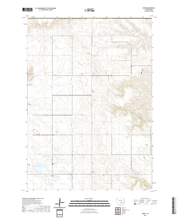
2021 Map of Dixon
USGS Topo · Published 2021About this map
Dixon serves as the primary settlement hub in this part of Gregory County, positioned where several local routes such as 335 Ave and 276th St converge. The landscape is defined by the drainage patterns of several seasonal watercourses, including Fivemile Cr, Lone Tree Cr, and Bull Cr, which carve through the plains. For genealogical interest, the map identifies two distinct burial sites: the Dixon Cem just north of the town site and the Brozik Family Cem further to the northeast. To the west, the Buffalo Buttes rise as a prominent topographic landmark. The presence of Lake Burch near the town center provides a rare permanent water feature in an area otherwise dominated by intermittent creek beds and section-line roads, reflecting the typical grid-based development of South Dakota's rural counties.
Find a feature on this map
24 named features on this map. Tap any name to fly to it.
Don’t see what you’re looking for? This feature index may not catch every label — zoom into the map to look around manually.
Map Details
Editions of this 2021 Dixon Map
This is the sole edition of this map. No revisions or reprints were ever made.
Other maps of this area

1940 · Iona
USGS Topo · 1:62,500

1944 · Iona
USGS Topo · 1:62,500

1955 · Mitchell
USGS Topo · 1:250,000

1959 · Mitchell
USGS Topo · 1:250,000

1971 · Hamill SE
USGS Topo · 1:24,000

1971 · Dixon SW
USGS Topo · 1:24,000

1971 · Rattlesnake Butte East
USGS Topo · 1:24,000

1971 · Dixon
USGS Topo · 1:24,000

1971 · Colome SE
USGS Topo · 1:24,000

1971 · Dixon SE
USGS Topo · 1:24,000