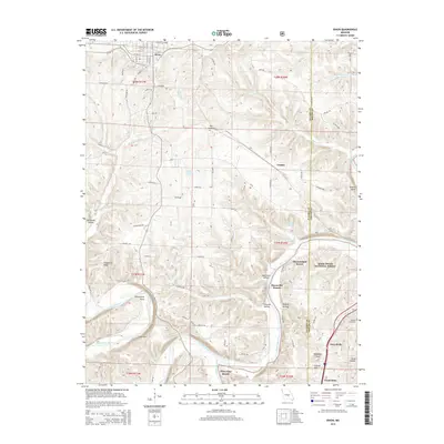
2015 Map of Dixon
USGS Topo · Published 2015About this map
Dixon sits atop the high ground of the northern Ozark Plateau, where the BNSF Railway cuts through the rugged landscape of Pulaski County. The town plan is oriented to the rail line, featuring a cluster of local landmarks including the Dixon Post Office and Dixon High Sch. To the south and east, the terrain drops sharply toward the winding Gasconade River and the Big Piney River, where a series of riverside retreats like Three Island Resort and Piney End Resort line the banks.
Find a feature on this map
98 named features on this map. Tap any name to fly to it.
Don’t see what you’re looking for? This feature index may not catch every label — zoom into the map to look around manually.
Map Details
Editions of this 2015 Dixon Map
This is the sole edition of this map. No revisions or reprints were ever made.
Other maps of this area

1888 · Tuscumbia
USGS Topo · 1:125,000

1894 · Tuscumbia
USGS Topo · 1:125,000

1912 · Rolla
USGS Topo · 1:62,500

1936 · Waynesville
USGS Topo · 1:48,000

1937 · Vienna
USGS Topo · 1:62,500

1938 · Vienna
USGS Topo · 1:48,000

1942 · Waynesville
USGS Topo · 1:62,500

1944 · Waynesville
USGS Topo · 1:62,500

1947 · Jefferson City
USGS Topo · 1:250,000

1948 · Tavern
USGS Topo · 1:62,500