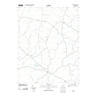
2010 Map of Dixon
USGS Topo · Published 2010About this map
Dixon serves as the focal point of this rural Kentucky landscape, where the convergence of local routes reflects a settlement pattern shaped by the undulating drainages of Slover Creek and Farmers Creek. The town is flanked by notable water bodies including City Lake and Walker Lake, which dominate the southern topography. To the north, the small communities of Little Zion, Tilden, and Wanamaker are linked by a network of named roads, many bearing family names like Townsend Pike and Vanderburg-Winstead Rd, providing a clear record of local land ownership and historical travel corridors.
Find a feature on this map
48 named features on this map. Tap any name to fly to it.
Don’t see what you’re looking for? This feature index may not catch every label — zoom into the map to look around manually.
Map Details
Editions of this 2010 Dixon Map
This is the sole edition of this map. No revisions or reprints were ever made.
Other maps of this area

1906 · Sebree
USGS Topo · 1:62,500

1907 · Earlington
USGS Topo · 1:48,000

1907 · Morganfield
USGS Topo · 1:62,500

1909 · Earlington
USGS Topo · 1:62,500

1909 · Providence
USGS Topo · 1:62,500

1949 · Sebree
USGS Topo · 1:24,000

1949 · Poole
USGS Topo · 1:24,000

1949 · Robards
USGS Topo · 1:24,000

1951 · Dixon
USGS Topo · 1:24,000

1951 · Poole
USGS Topo · 1:24,000