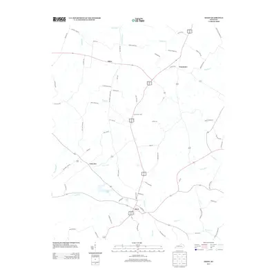
2013 Map of Dixon
USGS Topo · Published 2013About this map
Dixon serves as a central hub in this western Kentucky landscape, where the confluence of several family-named roads and rural routes defines the local geography. The area's hydrology is marked by the winding courses of Highland Cr and Lynn Fork, which feed into local landmarks like Walker Lake and City Lake. To the north and west, the smaller settlements of Tilden, Wanamaker, and Little Zion reflect a long-standing pattern of rural crossroads development.
Find a feature on this map
70 named features on this map. Tap any name to fly to it.
Don’t see what you’re looking for? This feature index may not catch every label — zoom into the map to look around manually.
Map Details
Editions of this 2013 Dixon Map
This is the sole edition of this map. No revisions or reprints were ever made.
Other maps of this area

1906 · Sebree
USGS Topo · 1:62,500

1907 · Earlington
USGS Topo · 1:48,000

1907 · Morganfield
USGS Topo · 1:62,500

1909 · Earlington
USGS Topo · 1:62,500

1909 · Providence
USGS Topo · 1:62,500

1949 · Sebree
USGS Topo · 1:24,000

1949 · Poole
USGS Topo · 1:24,000

1949 · Robards
USGS Topo · 1:24,000

1951 · Dixon
USGS Topo · 1:24,000

1951 · Poole
USGS Topo · 1:24,000