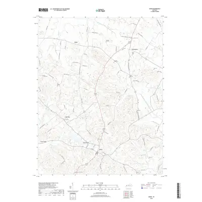
2019 Map of Dixon
USGS Topo · Published 2019About this map
Dixon serves as a central hub in this section of Webster County, where local roads like Clayton Rd and Railroad St intersect near the banks of Farmers Cr. The surrounding landscape is defined by a dense network of family heritage sites, including the Townsend Family Cem, Parker Family Cem, and Stone Family Cem, indicating generations of established settlement.
Find a feature on this map
85 named features on this map. Tap any name to fly to it.
Don’t see what you’re looking for? This feature index may not catch every label — zoom into the map to look around manually.
Map Details
Editions of this 2019 Dixon Map
This is the sole edition of this map. No revisions or reprints were ever made.
Other maps of this area

1906 · Sebree
USGS Topo · 1:62,500

1907 · Earlington
USGS Topo · 1:48,000

1907 · Morganfield
USGS Topo · 1:62,500

1909 · Earlington
USGS Topo · 1:62,500

1909 · Providence
USGS Topo · 1:62,500

1949 · Sebree
USGS Topo · 1:24,000

1949 · Poole
USGS Topo · 1:24,000

1949 · Robards
USGS Topo · 1:24,000

1951 · Dixon
USGS Topo · 1:24,000

1951 · Poole
USGS Topo · 1:24,000