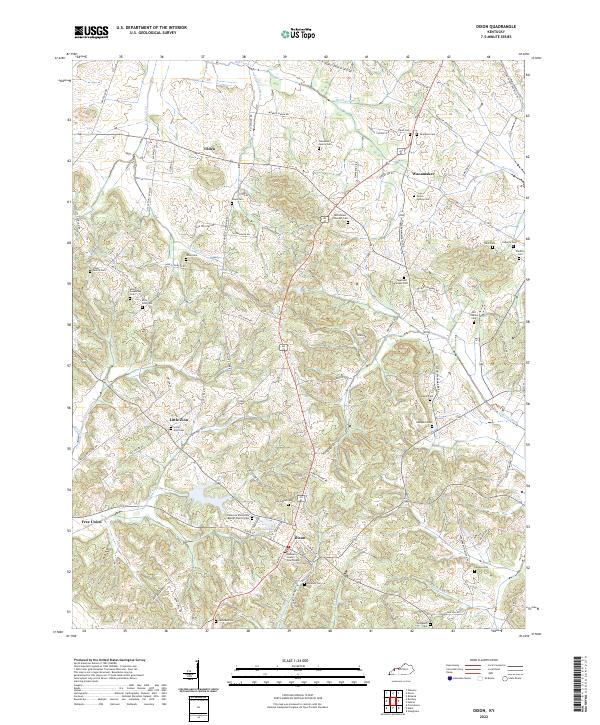
2022 Map of Dixon
USGS Topo · Published 2022About this map
Dixon serves as the focal point for this section of Webster County, anchored by the Webster County Courthouse and the nearby City Lake. The town's grid is defined by streets such as Main St and Railroad St, the latter reflecting the historical importance of rail transport to this rural hub. Surrounding the town, the landscape transitions into a network of small settlements and family farms, with names like Tilden and Wanamaker marking key intersections.
Find a feature on this map
93 named features on this map. Tap any name to fly to it.
Don’t see what you’re looking for? This feature index may not catch every label — zoom into the map to look around manually.
Map Details
Editions of this 2022 Dixon Map
This is the sole edition of this map. No revisions or reprints were ever made.
Other maps of this area
1906 · Sebree
USGS Topo · 1:62,500
1907 · Earlington
USGS Topo · 1:48,000
1907 · Morganfield
USGS Topo · 1:62,500
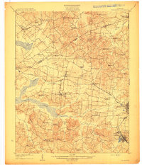
1909 · Earlington
USGS Topo · 1:62,500
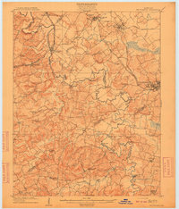
1909 · Providence
USGS Topo · 1:62,500
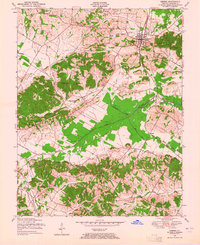
1949 · Sebree
USGS Topo · 1:24,000
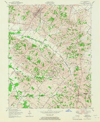
1949 · Poole
USGS Topo · 1:24,000
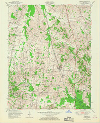
1949 · Robards
USGS Topo · 1:24,000
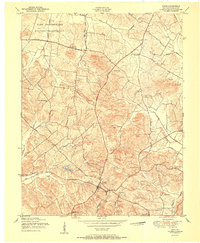
1951 · Dixon
USGS Topo · 1:24,000
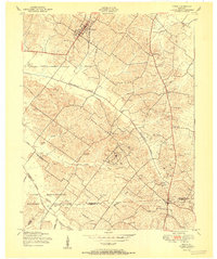
1951 · Poole
USGS Topo · 1:24,000