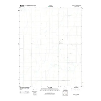
2009 Map of Dodge City NE
USGS Topo · Published 2009About this map
Saint Michaels Cemetery stands as a focal point for genealogical research in this rural portion of Ford County, situated north of the historic cattle town center. The landscape is defined by the winding paths of Spring Creek in the north and the multi-channeled Saw Log Creek to the south. This 2009 survey illustrates a strictly organized section-line road grid, including 8 Mile Rd and Chestnut Rd, which facilitates the region's agricultural movement. The sparse distribution of named landmarks emphasizes the open, prairie character of the Kansas high plains, where small local landmarks like Antelope Rd and 107th Rd provide the primary navigational framework for residents and researchers alike.
Find a feature on this map
11 named features on this map. Tap any name to fly to it.
Don’t see what you’re looking for? This feature index may not catch every label — zoom into the map to look around manually.
Map Details
Editions of this 2009 Dodge City NE Map
This is the sole edition of this map. No revisions or reprints were ever made.
Other maps of this area

1892 · Ness
USGS Topo · 1:125,000

1892 · Dodge
USGS Topo · 1:125,000

1892 · Spearville
USGS Topo · 1:125,000

1894 · Spearville
USGS Topo · 1:125,000

1894 · Ness
USGS Topo · 1:125,000

1955 · Great Bend
USGS Topo · 1:250,000

1955 · Pratt
USGS Topo · 1:250,000

1955 · Dodge City
USGS Topo · 1:250,000

1955 · Scott City
USGS Topo · 1:250,000

1957 · Great Bend
USGS Topo · 1:250,000