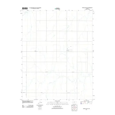
2012 Map of Dodge City NE
USGS Topo · Published 2012About this map
Saint Michaels Cem sits on a small rise above the surrounding prairie, serving as a primary point of interest for genealogists and local historians researching Ford County. This section of Kansas is defined by its drainage patterns, with the winding paths of Saw Log Cr, Spring Cr, and Buckner Cr carving subtle relief across the agricultural landscape. The township is organized by a precise grid of section-line roads, including 8 Mile Rd, Antelope Rd, and Chestnut Rd. These routes facilitate the movement of agricultural goods across the High Plains, connecting remote farmsteads and rural properties to the wider region. The interplay between the natural watercourses and the man-made road network illustrates the systematic settlement of the Kansas frontier in the late 19th and early 20th centuries.
Find a feature on this map
12 named features on this map. Tap any name to fly to it.
Don’t see what you’re looking for? This feature index may not catch every label — zoom into the map to look around manually.
Map Details
Editions of this 2012 Dodge City NE Map
This is the sole edition of this map. No revisions or reprints were ever made.
Other maps of this area

1892 · Ness
USGS Topo · 1:125,000

1892 · Dodge
USGS Topo · 1:125,000

1892 · Spearville
USGS Topo · 1:125,000

1894 · Spearville
USGS Topo · 1:125,000

1894 · Ness
USGS Topo · 1:125,000

1955 · Great Bend
USGS Topo · 1:250,000

1955 · Pratt
USGS Topo · 1:250,000

1955 · Dodge City
USGS Topo · 1:250,000

1955 · Scott City
USGS Topo · 1:250,000

1957 · Great Bend
USGS Topo · 1:250,000