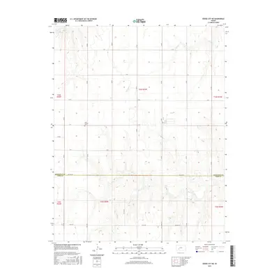
2016 Map of Dodge City NE
USGS Topo · Published 2016About this map
Saint Michaels Cem stands as a focal point of local history in this rural expanse north of Dodge City, situated near the intersection of C Rd and 207 Rd. This area of the High Plains is characterized by a sprawling grid of section roads that navigate the drainage basins of several prominent local waterways. The landscape is defined by the winding paths of Buckner Cr in the northwest, Spring Cr to the northeast, and the more complex terrain surrounding Saw Log Cr in the southern portion of the quadrangle. The map captures the boundary between Hodgeman and Ford Counties, marked along Antelope Rd. While the north is largely a clean grid of lettered and numbered routes like F Rd and 212 Rd, the southern half reveals the natural topography's influence on the local road network, specifically where 8 Mile Rd and Chestnut Rd traverse the hills near the creek beds.
Find a feature on this map
31 named features on this map. Tap any name to fly to it.
Don’t see what you’re looking for? This feature index may not catch every label — zoom into the map to look around manually.
Map Details
Editions of this 2016 Dodge City NE Map
This is the sole edition of this map. No revisions or reprints were ever made.
Other maps of this area

1892 · Ness
USGS Topo · 1:125,000

1892 · Dodge
USGS Topo · 1:125,000

1892 · Spearville
USGS Topo · 1:125,000

1894 · Spearville
USGS Topo · 1:125,000

1894 · Ness
USGS Topo · 1:125,000

1955 · Great Bend
USGS Topo · 1:250,000

1955 · Pratt
USGS Topo · 1:250,000

1955 · Dodge City
USGS Topo · 1:250,000

1955 · Scott City
USGS Topo · 1:250,000

1957 · Great Bend
USGS Topo · 1:250,000