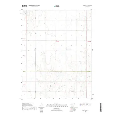
2018 Map of Dodge City NE
USGS Topo · Published 2018About this map
Saw Log Cr winds through the southern reaches of this landscape on the High Plains, carving a network of drainage channels across the terrain northeast of Dodge City. The area is defined by its rigid section-line road network and the political division between the Hodgeman Co Ford Co line. Near the western edge, Saint Michaels Cem stands as a focal point for local family history and genealogy, situated just north of C Rd. The northern drainage is managed by Buckner Cr and Spring Cr, which break up the geometric precision of the agricultural grid. This topography illustrates the persistent rural character of the region, where named routes like Antelope Rd and 8 Mile Rd provide the primary infrastructure for the scattered homesteads and farming operations that have shaped this portion of Ford and Hodgeman counties.
Find a feature on this map
34 named features on this map. Tap any name to fly to it.
Don’t see what you’re looking for? This feature index may not catch every label — zoom into the map to look around manually.
Map Details
Editions of this 2018 Dodge City NE Map
This is the sole edition of this map. No revisions or reprints were ever made.
Other maps of this area

1892 · Ness
USGS Topo · 1:125,000

1892 · Dodge
USGS Topo · 1:125,000

1892 · Spearville
USGS Topo · 1:125,000

1894 · Spearville
USGS Topo · 1:125,000

1894 · Ness
USGS Topo · 1:125,000

1955 · Great Bend
USGS Topo · 1:250,000

1955 · Pratt
USGS Topo · 1:250,000

1955 · Dodge City
USGS Topo · 1:250,000

1955 · Scott City
USGS Topo · 1:250,000

1957 · Great Bend
USGS Topo · 1:250,000