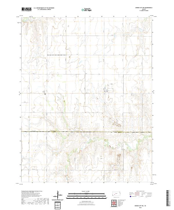
2022 Map of Dodge City NE
USGS Topo · Published 2022About this map
Saint Michaels Cem sits near the crossing of C RD and 207 RD, serving as a central landmark for this rural landscape where Hodgeman and Ford counties meet. The terrain is defined by the drainage patterns of several western Kansas waterways, including Saw Log Cr in the south and Spring Cr and Buckner Cr in the north. The survey reveals a rigid section-line road network, such as Antelope Rd and 8 Mile Rd, that follows the Public Land Survey System grid. This layout reflects the enduring agricultural organization of the High Plains, where residential clusters are sparse and property lines are dictated by the cardinal directions of the township and range system. Individual rural sites are scattered along these routes, maintaining a pattern of settlement established long before modern mapping.
Find a feature on this map
21 named features on this map. Tap any name to fly to it.
Don’t see what you’re looking for? This feature index may not catch every label — zoom into the map to look around manually.
Map Details
Editions of this 2022 Dodge City NE Map
This is the sole edition of this map. No revisions or reprints were ever made.
Other maps of this area

1892 · Ness
USGS Topo · 1:125,000

1892 · Dodge
USGS Topo · 1:125,000

1892 · Spearville
USGS Topo · 1:125,000

1894 · Spearville
USGS Topo · 1:125,000

1894 · Ness
USGS Topo · 1:125,000

1955 · Great Bend
USGS Topo · 1:250,000

1955 · Pratt
USGS Topo · 1:250,000

1955 · Dodge City
USGS Topo · 1:250,000

1955 · Scott City
USGS Topo · 1:250,000

1957 · Great Bend
USGS Topo · 1:250,000