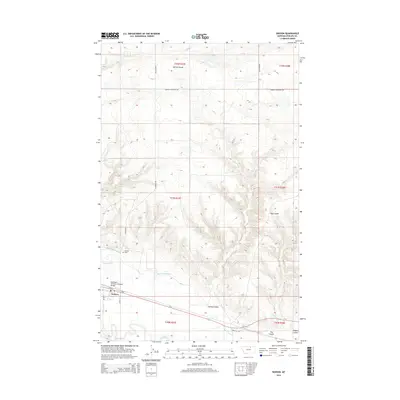
2014 Map of Dodson
USGS Topo · Published 2014About this map
Dodson serves as the primary hub of this Phillips County landscape, situated along the northern bank of the Milk River. The settlement is defined by its transportation and irrigation infrastructure, including the Burlington Northern Overpass Bridge and a network of water management features like the Dodson Pump Canal and Dodson N Canal. These engineering works highlight the importance of water diversion in this semi-arid region, supporting the local agricultural economy that borders the river valley. To the east, the smaller settlement of Wagner sits near the river's edge.
Find a feature on this map
26 named features on this map. Tap any name to fly to it.
Don’t see what you’re looking for? This feature index may not catch every label — zoom into the map to look around manually.
Map Details
Editions of this 2014 Dodson Map
This is the sole edition of this map. No revisions or reprints were ever made.
Other maps of this area

1920 · Avery
USGS Topo · 1:125,000

1953 · Havre
USGS Topo · 1:250,000

1957 · Havre
USGS Topo · 1:250,000

1958 · Havre
USGS Topo · 1:250,000

1964 · Dodson NE
USGS Topo · 1:24,000

1964 · Coburg SE
USGS Topo · 1:24,000

1964 · Dodson
USGS Topo · 1:24,000

1964 · Cow Creek
USGS Topo · 1:24,000

1964 · Dodson Dam
USGS Topo · 1:24,000

1965 · Wagner
USGS Topo · 1:24,000