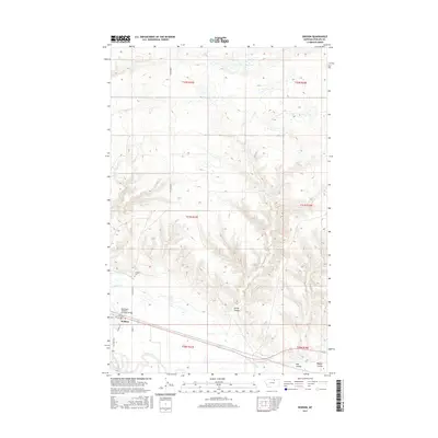
2017 Map of Dodson
USGS Topo · Published 2017About this map
Dodson serves as a small railroad and agricultural hub along the northern plains of Montana. The landscape is defined by the vital waters of the Milk River, which are distributed through an intricate local irrigation system including the Dodson-Pump Canal and the Dodson N Canal. This 2017 survey reveals the intersection of early 20th-century infrastructure and modern transportation, most notably where the Burlington Northern Overpass Bridge crosses the rail lines that historically drove the region's development.
Find a feature on this map
22 named features on this map. Tap any name to fly to it.
Don’t see what you’re looking for? This feature index may not catch every label — zoom into the map to look around manually.
Map Details
Editions of this 2017 Dodson Map
This is the sole edition of this map. No revisions or reprints were ever made.
Other maps of this area

1920 · Avery
USGS Topo · 1:125,000

1953 · Havre
USGS Topo · 1:250,000

1957 · Havre
USGS Topo · 1:250,000

1958 · Havre
USGS Topo · 1:250,000

1964 · Dodson NE
USGS Topo · 1:24,000

1964 · Coburg SE
USGS Topo · 1:24,000

1964 · Dodson
USGS Topo · 1:24,000

1964 · Cow Creek
USGS Topo · 1:24,000

1964 · Dodson Dam
USGS Topo · 1:24,000

1965 · Wagner
USGS Topo · 1:24,000