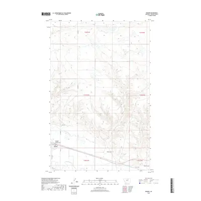
2020 Map of Dodson
USGS Topo · Published 2020About this map
Dodson serves as a focal point in Phillips County, situated near the winding Milk River and a complex system of irrigation infrastructure. The landscape is defined by its agricultural and transport arteries, notably the Dodson Pump Canal and Dodson N Canal, which support the surrounding terrain. Just north of the town center, Hillside Cem sits on a rise above the valley floor. The area's logistical importance is marked by the Burlington Northern Overpass Bridge, facilitating movement across the rail lines that cross the region. To the east and south, the terrain is etched by drainage features including Spring Coulee, Hay Coulee, and Wagner Coulee, illustrating the natural watershed that feeds into the river valley. Local travel is anchored by State Hwy 204 and N Dodson Rd, connecting the township to the broader Montana plains.
Find a feature on this map
20 named features on this map. Tap any name to fly to it.
Don’t see what you’re looking for? This feature index may not catch every label — zoom into the map to look around manually.
Map Details
Editions of this 2020 Dodson Map
This is the sole edition of this map. No revisions or reprints were ever made.
Other maps of this area
1920 · Avery
USGS Topo · 1:125,000
1953 · Havre
USGS Topo · 1:250,000
1957 · Havre
USGS Topo · 1:250,000
1958 · Havre
USGS Topo · 1:250,000
1964 · Dodson NE
USGS Topo · 1:24,000
1964 · Coburg SE
USGS Topo · 1:24,000
1964 · Dodson
USGS Topo · 1:24,000
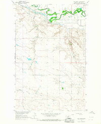
1964 · Cow Creek
USGS Topo · 1:24,000
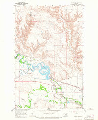
1964 · Dodson Dam
USGS Topo · 1:24,000
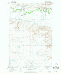
1965 · Wagner
USGS Topo · 1:24,000