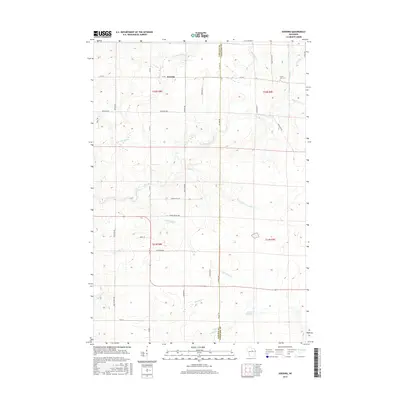
2015 Map of Doering
USGS Topo · Published 2015About this map
The settlement of Doering anchors this northern Wisconsin landscape at the border of Lincoln and Langlade counties. The geography is defined by an intricate network of waterways, most notably the Pine River and its various tributaries including the N Br Pine River and Oxbo Cr. In the southern portion of the map, the Gleason Flowage 2 indicates managed water levels within the drainage basin. Local genealogy and land use are reflected in features such as the Forest View Cem and a grid of rural roads named for local families and landmarks, such as Spile Dam Rd, Mosser Rd, and Ohlmann Rd. The terrain is marked by numerous creeks like Pot Smith Cr and Little Oxbo Cr, which navigate the township divisions of T31N and T32N, showing the late 20th-century rural infrastructure before recent developments.
Find a feature on this map
46 named features on this map. Tap any name to fly to it.
Don’t see what you’re looking for? This feature index may not catch every label — zoom into the map to look around manually.
Map Details
Editions of this 2015 Doering Map
This is the sole edition of this map. No revisions or reprints were ever made.
Other maps of this area

1899 · Wausau
USGS Topo · 1:125,000

1902 · Wausau
USGS Topo · 1:125,000

1940 · Parrish
USGS Topo · 1:48,000

1950 · Parrish
USGS Topo · 1:48,000

1950 · Tomahawk
USGS Topo · 1:48,000

1951 · Doering
USGS Topo · 1:48,000

1951 · Merrill
USGS Topo · 1:48,000

1952 · Parrish
USGS Topo · 1:48,000

1952 · Tomahawk
USGS Topo · 1:48,000

1954 · Iron Mountain
USGS Topo · 1:250,000