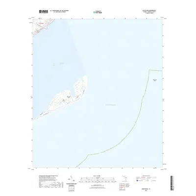
2021 Map of Dog Island
USGS Topo · Published 2021About this map
Dog Island serves as the focal point of this coastal survey, situated between Saint George Sound and the open Gulf of Mexico. The island's geography is defined by its narrow, sandy stretches and the critical presence of the Dog Island Airport, which provides essential access to this offshore location. A small network of roads, including Gulf Shore Dr and Lubber Ln, traces the interior and shoreline of the island, suggesting a sparse but established residential or seasonal presence.
Find a feature on this map
16 named features on this map. Tap any name to fly to it.
Don’t see what you’re looking for? This feature index may not catch every label — zoom into the map to look around manually.
Map Details
Editions of this 2021 Dog Island Map
This is the sole edition of this map. No revisions or reprints were ever made.
Other maps of this area

1943 · Dog Island
USGS Topo · 1:31,680

1943 · Carrabelle
USGS Topo · 1:24,000

1943 · St. Teresa Beach
USGS Topo · 1:24,000

1944 · Pickett Bay
USGS Topo · 1:31,680

1944 · Carrabelle
USGS Topo · 1:31,680

1944 · Sugar Hill
USGS Topo · 1:31,680

1945 · Mc Intyre
USGS Topo · 1:31,680

1945 · Sugar Hill
USGS Topo · 1:31,680

1945 · St Teresa
USGS Topo · 1:31,680

1945 · Pickett Bay
USGS Topo · 1:31,680